")
")


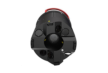
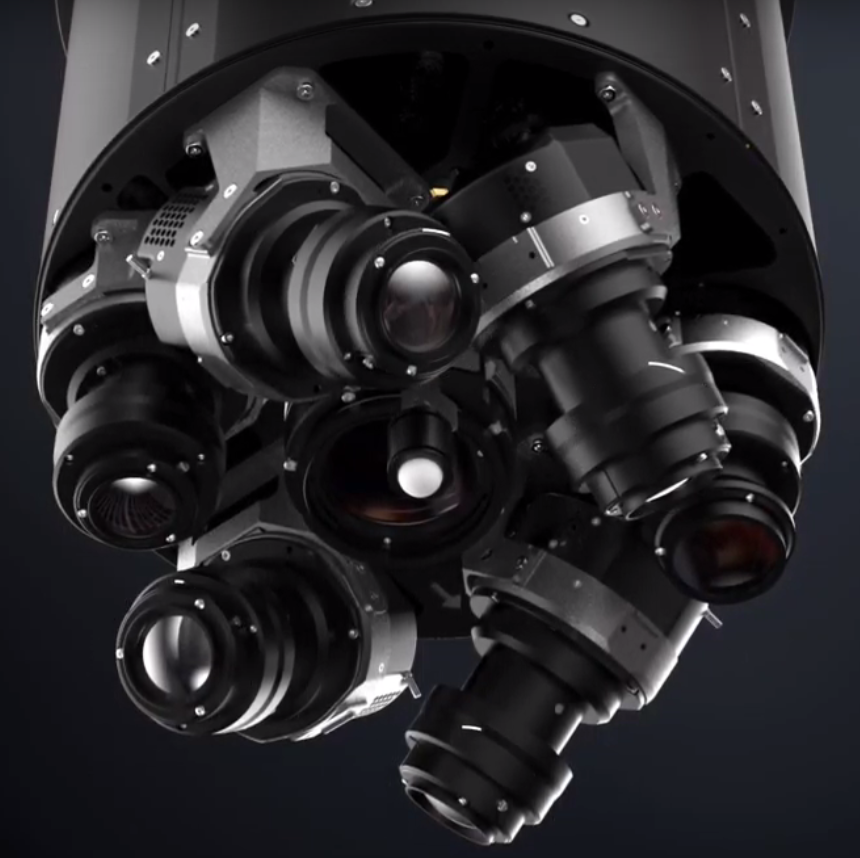
The citymapper 2 is the latest Leica sensor.
It is a hybrid sensor composed of a high performance lidar and 6 large format 150Mp cameras.
This new multifunction sensor allows all types of acquisitions to be carried out simultaneously:
- photogrammetric quality vertical shots
- oblique shots in 4 directions
- high density lidar survey.
The applications are numerous:
- urban modeling
- electric line
- transport infrastructure (road, railways)
- lidar projects (forestry, archeology, DEM and high density DEM)
Lidar offers all the new advances:
- pulse frequency up to 2MHz (2 million emissions per second)
- great power allowing to fly up to 5000m above the ground
- circular scan mode ideal for modeling vertical surfaces (buildings, trees, pylons, poles)
- Full Wave Form recording mode
- management of very rough areas (Gateless mode)
- up to 15 echoes per emission with a minimum distance of 30cm between 2 echoes
- a perfect distribution of points (homogeneous density in the center and on the edges of the FOV)
- a gyrostabilized platform to correct the imperfections of the flight
cameras:
- high sensitivity CMOS sensor ideal for better radiometry in shaded areas or low exposure (low solar angle)
- calibrated camera of photogrammetric quality (geometric precision <1 pixel)
- mechanical image motion compensation even on obliques
- allows you to fly at 5cm at high altitude and at high speed (ideal for areas with heavy air traffic: Paris, Geneva ...)
- strong rate 6 images of 150Mp every 0.8s.
For more informations:
https://leica-geosystems.com/en-us/products/airborne-systems/leica-citymapper-2